
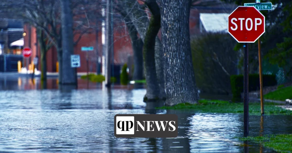
New Haven County under a coastal flood warning
NEW HAVEN, CT — Connecticut’s Emergency Operations Center entered partial activation at 7 a.m. Saturday, September 26, as forecasters expected the nor’easter to deliver heavy rain and strong winds statewide through the weekend, while a coastal flood warning remained in effect for New Haven County through 6 p.m. Sunday, September 27. Gov. Ned Lamont ordered the state response on Friday, ahead of the storm.
At 12:53 p.m. Saturday the National Weather Service recorded overcast, breezy conditions at Tweed New Haven Airport, with a northeast wind of 23 mph gusting to 39 mph. Its New Haven forecast, as of early Saturday afternoon, called for rain and wind through the afternoon and overnight, with gusts as high as 46 mph, then showers and gusts to 39 mph on Sunday. The forecast put new rainfall at a tenth to a quarter of an inch Saturday afternoon, a half to three quarters of an inch overnight, three quarters of an inch to an inch on Sunday and 1 to 2 inches Sunday night, with thunderstorms possible in each period. The wind advisory runs through 6 a.m. Sunday.
The coastal flood warning covers New Haven and Fairfield counties, and coastal flood advisories cover Middlesex and New London counties, both in force from 6 p.m. Friday until 6 p.m. Sunday, September 27, the governor’s office said. The wind advisory the weather service issued for all of Connecticut began at 2 p.m. Friday and runs through Sunday morning, so the region’s inland towns are under it as well as the shoreline.
Hamden closes library and cancels outdoor activities
Hamden officials said the police, fire and public works departments were working with the town’s utility partners and town leadership through the storm. The town told residents to prepare for strong winds, fallen trees and limbs, downed lines, closed roads, outages and hazardous travel.
Hamden’s Miller Memorial Library was closed Saturday and is to reopen Monday, September 28, at its regular hours; the activities and meetings booked there for Saturday were canceled. The town also called off Saturday’s Brooksvale Fall Festival, and every league game, practice and other athletic activity on its municipal fields is off through Sunday, September 27. A movie scheduled at Villano Park on Friday evening was canceled as well.
The town asked residents to avoid unnecessary travel so cleanup crews and emergency vehicles can move, to treat every downed wire as live and keep clear of it, and to call 911 about downed wires or trees. For storm concerns that are not life-threatening, it listed the Hamden Police non-emergency line, 203-230-4000, and the Public Works Department, 203-287-2600.