2.3 Magnitude Earthquake Near Sleepy Hollow Shakes Connecticut Communities

A quake originating in Westchester County was felt across Fairfield County and as far east as New Haven on March 10, 2026.

PublishedMarch 14, 2026
Earthquake
Residents in Fairfield County and the New Haven area reported weak shaking

2.3 Magnitude Earthquake Near Sleepy Hollow Shakes Connecticut Communities

A 2.3 magnitude earthquake centered near Sleepy Hollow, New York, shook parts of Connecticut on Tuesday morning, March 10, 2026, with residents in Fairfield County and the New Haven area among those reporting weak shaking, according to the U.S. Geological Survey.

The quake struck at 10:17 a.m. Eastern time at a depth of approximately 7.4 kilometers. The epicenter was located in the Hudson Valley, fewer than eight miles west of Greenwich — placing Fairfield County communities among the closest Connecticut residents to the source of the tremor.

By midmorning, more than 1,000 residents across the region had submitted reports through the USGS "Did You Feel It?" system, the majority from the Hudson Valley in New York. In Connecticut, residents in Greenwich, Stamford, Wilton, and Sherman reported weak shaking. Reports also came in from New Haven, Hamden, Wallingford, Milford, and Bridgeport, where the tremor was lighter but still noticeable to residents.

No injuries or property damage were reported anywhere in Connecticut. Westchester County Executive Ken Jenkins confirmed that the county's Department of Emergency Services received no reports of damage or operational disruptions. Officials at the former Indian Point nuclear site in Buchanan, New York, near the epicenter, conducted standard post-seismic safety surveys and reported no issues.

Why Small Quakes Are Felt Widely in Connecticut

NBC Connecticut Chief Meteorologist Ryan Hanrahan commented on the earthquake via social media following the event. He explained that the East Coast's older, more rigid bedrock transmits seismic energy over far greater distances than the geologically fractured terrain found along the West Coast. That geological characteristic allows even minor quakes to be felt dozens of miles from their epicenters — a dynamic that played out Tuesday as shaking from Westchester County reached communities across southwestern and south-central Connecticut.

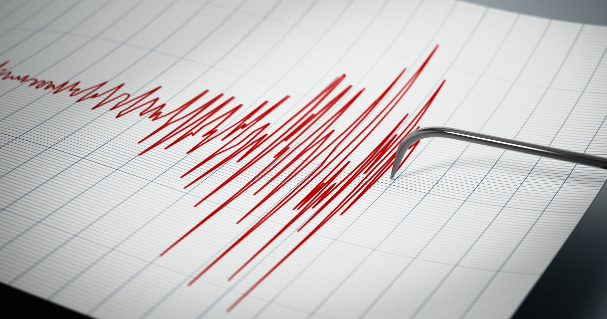
The USGS "Did You Feel It?" portal collects voluntary reports from the public and uses the data to map the geographic spread of shaking intensity. For the March 10 event, the agency's map showed "weak" shaking across most of Connecticut, with stronger "light" intensity confined to areas nearest the Westchester epicenter.

Connecticut's Recent Earthquake History

Connecticut experiences minor seismic activity periodically. In November 2024, a 2.2 magnitude earthquake struck Moodus in East Haddam and was felt in Middlesex County communities including Middletown, East Hampton, Hebron, and Marlborough.

Moodus has been associated with small seismic events for centuries. Residents have long reported low rumbling sounds and vibrations known as the "Moodus Noises," attributed to a cluster of minor fault lines beneath the town. Geologists continue to study the mechanism behind the area's recurring tremors.

The Sleepy Hollow quake served as a reminder that Connecticut residents can feel seismic events originating outside the state, particularly when the source is in the heavily populated New York metropolitan region. The village of Sleepy Hollow sits in Westchester County roughly 25 miles north of New York City and is not typically associated with seismic activity. Despite the modest magnitude, the March 10 event was detected at "weak" intensity in communities as far as 60 miles from the epicenter.

No Emergency Response Required in New Haven

No emergency declarations, utility disruptions, or road closures were reported in Connecticut as a result of the earthquake. No official statements were issued by the Connecticut Division of Emergency Management and Homeland Security or by New Haven city officials.

Residents who experienced shaking and have not yet reported it are encouraged to file an account through the USGS "Did You Feel It?" portal at earthquake.usgs.gov. Crowdsourced felt reports help scientists map how seismic waves travel through the northeastern United States, improving regional hazard assessments and informing emergency planning in states like Connecticut, where seismic monitoring infrastructure is less comprehensive than in high-risk zones like California.

Got a tip? Reach out to us at tips@thequinnipiacpost.com.

Never miss New Haven news

Free local news delivered to your inbox — no spam, unsubscribe anytime.